Découvrez « Virtual geology »
Virtual Geology est nouveau moyen de découvrir la géologie sur terrain, grace a une immersion dans des visites virtuel à 360° sur le terrain, enrichies de contenus interactifs.
Virtual Geology est nouveau moyen de découvrir la géologie sur terrain, grace a une immersion dans des visites virtuel à 360° sur le terrain, enrichies de contenus interactifs.
Ecole de terrain de fin d’année pour les Licences 3eme année en sciences de la Terre de l’Université de Dijon (Jura-Maconnais-Bourgogne). Au programme : études géomorphologiques, environnementales, sédimentologiques et tectoniques.


Premiers résultats des modélisations climatiques sur la glaciation Ordovicienne. En collaboration avec le CEA et l’IPGP

Octobre 2014 – Ecole de terrain de sédimentologie pour les Licences 3eme année en sciences de la Terre de Dijon. Au programme sédimentologie de faciès dans différents environnements : fluviatiles, glaciaire, marins entre la Côte d’Or et le Jura.


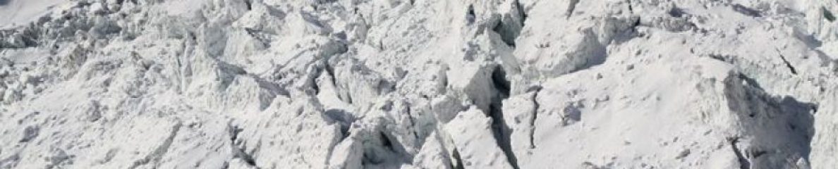
Sortie du papier sur le creusement des vallée tunnel durant l’Ordovicien
Etude sur le terrain de deux complexes d’injection sableuse à l’échelle du réservoir :


: reservoir-scale exposures of sand injection features")
: reservoir-scale exposures of sand injection features")
: reservoir-scale exposures of sand injection features")
: reservoir-scale exposures of sand injection features")
: reservoir-scale exposures of sand injection features")
: reservoir-scale exposures of sand injection features")
: reservoir-scale exposures of sand injection features")
![]()
Nature News publie un article suite à une interview portant sur nos travaux réalisés sur le relief du massif du mont-Blanc qui viennent d’être publiés dans EPSL

Ref : Godon, C. et al. Earth Planet. Sci. Lett. http://dx.doi.org/10.1016/j.epsl.2013.05.018 (2013).
Sortie du papier sur l’étude du relief du mont-blanc : Godon C., Mugnier JL., Fallourd R., Paquette JL., Pohl A., et Buoncristiani JF.2013. The Bossons glacier protects Europe’s summit from erosion. Earth and Planetary Science Letters, in press
Highlights


Notre dernier papier sur la glaciation Ordovicien est en ligne
 Subglacial to proglacial depositional environments in an Ordovician glacial tunnel valley, Alnif, Morocco
 ,
,  , Jean-François Buoncristiania, , Michel Guirauda, , Emmanuelle Vennina, ,Guy Desaubliauxb, , Eric Portierb,
 This paper presents the sedimentary analysis of an exceptional Ordovician glacial tunnel valley in the eastern part of the Anti-Atlas. The valley infill comprises two major glacial erosion surfaces (striated pavements) each overlain by a fining-upward glacial unit. These units are composed of five distinct facies associations, recording the evolution from subglacial to proglacial environments, and an additional sixth facies association, overtopping the tunnel valley infill, and associated with post-glacial environments. The tunnel valley infill also records a transitional environment between the subglacial and proglacial settings, which is compared with the Antarctic ice-sheet margin. These three environments are defined by the position of the grounding line and the coupling line. The new proposed depositional model also differs from usual Ordovician depositional models in which the main tunnel valley infill is interpreted as essentially proglacial outwash deposits, in a range of glaciomarine to glaciofluvial environments. Overall, a substantial part of the valley infill (~ 50% of volume) was deposited in a subglacial setting. The sedimentary bodies could form potentially thick and laterally extended, although these were limited by the shape and extent of the subglacial accommodation space. Finally, the sedimentary record, when compared with regional analogues, also provides information for the palaeogeographic reconstruction of the Ordovician ice-sheet in this region.
► An Ordovician tunnel valley infill is described in detail ► Subglacial and proglacial depositional environments are determined ► An additional environment is proposed associated with a lightly grounded ice-sheet ► Accommodation space is defined for proglacial and subglacial settings ► The study provides additional data for Hirnantian ice-sheet reconstruction
